Skip navigation
Home
Help
-->
Language
English
português
Browsing "Mapas" by Title
Jump to:
0-9
A
B
C
D
E
F
G
H
I
J
K
L
M
N
O
P
Q
R
S
T
U
V
W
X
Y
Z
or enter first few letters:
Sort by:
title
issue date
submit date
In order:
Ascending
Descending
Results/Page
5
10
15
20
25
30
35
40
45
50
55
60
65
70
75
80
85
90
95
100
Authors/Record:
All
1
5
10
15
20
25
30
35
40
45
50
Showing results 1 to 20 of 21
next >
Preview
Issue Date
Title
Author(s)
[s.d.]
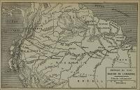
Amerique du Sud Bassin de L'Amazone
-
[s.d.]
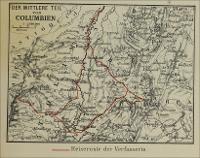
Der Mittlere Teil von Columbien
-
[s.d.]
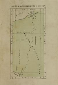
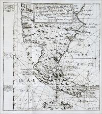
From Rio di Janeiro to the Cape of Good Hope
-
1861
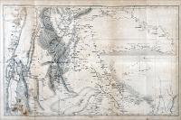
[Fronteira do Chile com a Argentina]
-
1669
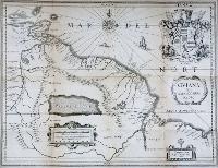
Gviana Fiue Amazonvm Regio
-
[s.d.]
Karte der Sudlichen Provinzen der Argentinischen Republik, zu Seiner Reise Durch Die La Plata-Staaten Entworpen von Dr. Herm. Burmeister
Mahlmann, Heinrich, 1812-1848
18?
Karte zunUbersicht von H.Burmeister's Reise in Brasilien im Jahre 1850
Mahlmann, Heinrich, 1812-1848
[s.d.]
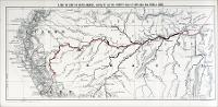
A Map of Part of South America, showing Mr. And Mrs. Booth's Route of 3,500 miles from Para to Lima
-
[s.d.]
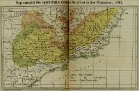
Map shewing the approximate extent of the Brazilian Coffee Plantations, 1901
-
[s.d.]
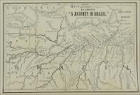
Map to Accompany Agassiz's 'A Journey in Brazil'
-
19?
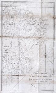
Mappa Geographico da Capitania do Maranhao ...
-
[s.d.]
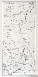
Mr. & Mrs. G. M. Booth's Route by River, path & Railway, from Iquitos to Lima
-
[1621]
Reconocimiento de los estrechos de Magallanes, y San Vicente ...
Albernaz, Pedro Teixeira, ca. 1595-1662
1870
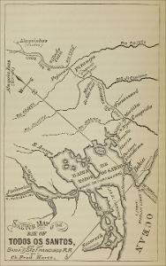
Sketch Map of the Bay of Todos os Santos, and the Bahia and Sao Francisco R. R.
Hartt, Charles Frederick, 1840-1878
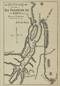
1870
Sketch Map of the Parahyba do Norte
-
1821
Skizze derl Bay von Rio de Janeiro nach der Englischen Aufnahm, 1821
-
1907
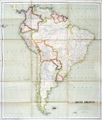
South America
Philip, George & Son
1908
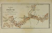
Spezialkarte vom Uspallata - Pass
-
1885
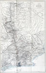
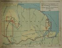
Tableau D'Assemblage des Itineraires de H. A. Coudreau et Campos de la rive Septentrionale de L'Amazone, 1885
Hansen, J.
1907
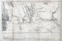
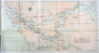
Track Chart of the Straits of Magellan
-